The Yamakasa Portal-Site!
District Information & Exhibition Locations
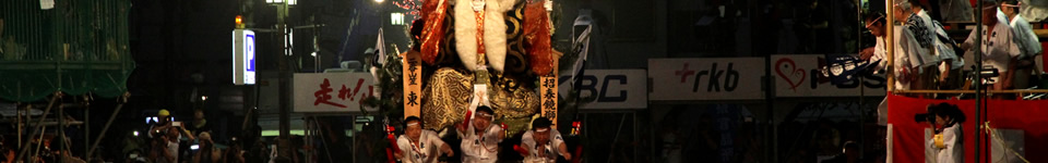
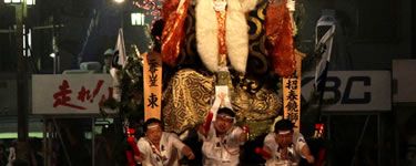
Everything about the Yamakasa and their districts
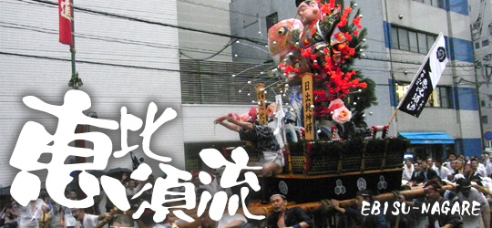
Originally called Ishido-nagare, this district was renamed due to its area being almost identical to the area of the Ebisu-nagare district, that is used as division of the city during the Hakata-Dontaku festival.
The districts area lies along the north-west coast of the Mikasua-River and extends into the other districts with two small Islands within other districts. This is because the district was as only one orientated along an east-west orientated Street.
Due to the district becoming more of a commercial zone, the relatively small district as had less and less participants in the last years. Ohama-Elementary-School has already invited the parents of their students to join the festival, helping out with the situation.
Please check the Japanese website for information on this year's event.
District Area
More large map :Hakata Gion Yamakasa "Nagare" area map created by Yamakasa Navi
Ebisu-nagareVest Design
Naga-happi
 横町
横町
 上金屋町
上金屋町
 官内町
官内町
 上竪町
上竪町
 中石堂町
中石堂町
 中間町
中間町
 蓮池町
蓮池町
 綱場町
綱場町
 中竪町
中竪町
Mizu-happi
 横町
横町
 上金屋町
上金屋町
 官内町
官内町
 上竪町
上竪町
 中石堂町
中石堂町
 中間町
中間町
 蓮池町
蓮池町
 綱場町
中竪町
綱場町
中竪町


